


Czechoslovakia 1928 Ottoman Atlas Map Empire Czech Republic Slovakia
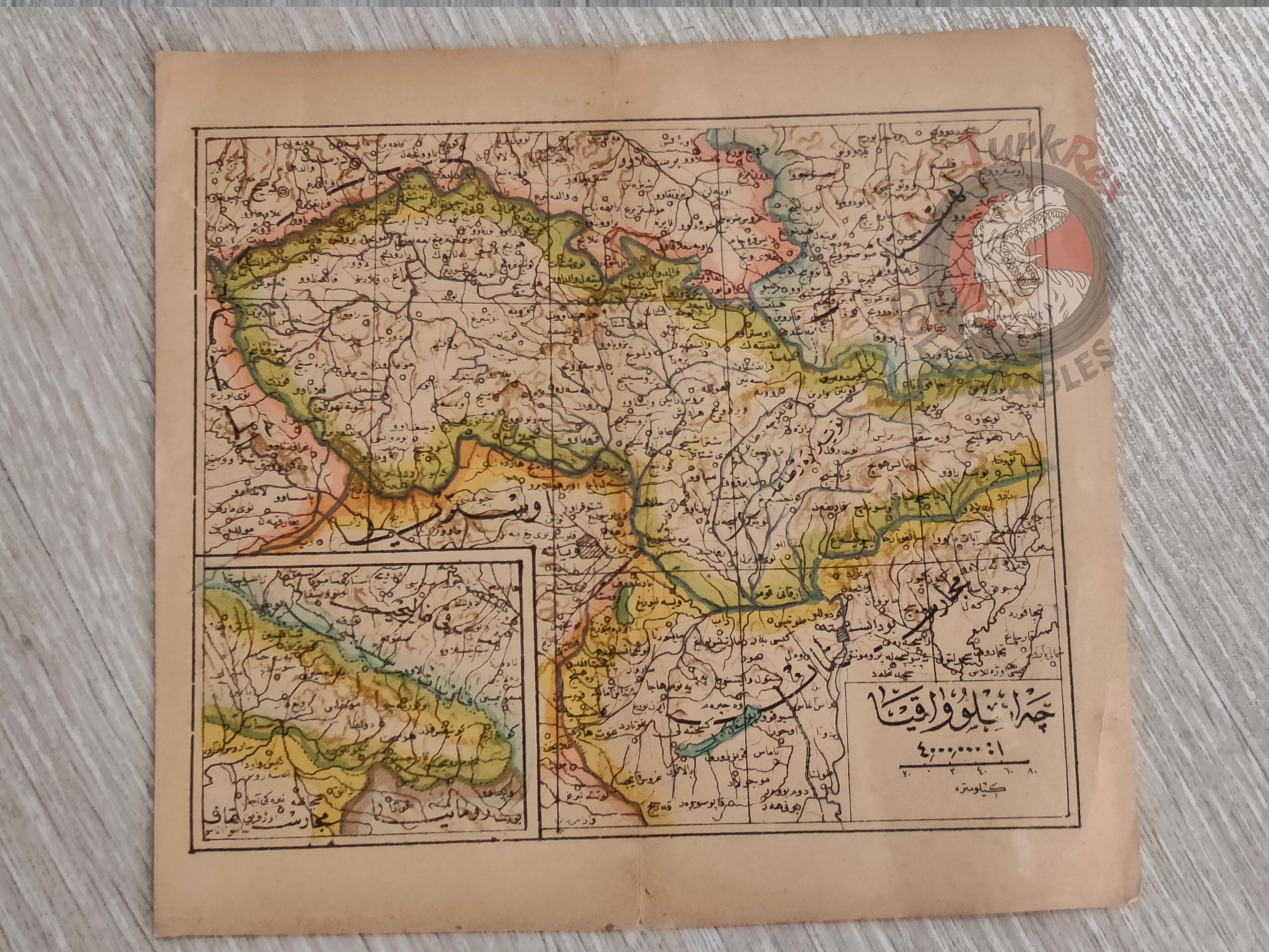
Czechoslovakia Map - Cumhuriyet-i Cihan Atlası (1928)
Description:
This Ottoman Turkish map of Czechoslovakia, published in 1928 in Istanbul by Selamet Matbaası, originates from the atlas Cumhuriyet-i Cihan Atlası. Measuring 19.5 × 18.1 cm, the map provides a geographical representation of the newly formed Czechoslovak state following World War I and the dissolution of the Austro-Hungarian Empire. Printed in Ottoman script during the transitional years of the Turkish Republic, this piece reflects both the cartographic style of the late Ottoman era and the geopolitical changes of early 20th-century Europe.
Key Features:
-
Language: Ottoman Turkish
-
Publisher: Selamet Matbaası, Istanbul
-
Date: 1928
-
Size: 19.5 × 18.1 cm
-
Condition: Very good, with minor age-related wear
-
From Cumhuriyet-i Cihan Atlası (1928)
-
Detailed representation of Czechoslovakia in the interwar period
-
Rare example of post-Ottoman era atlas printing