


Denmark Ottoman Map German Empire Europe
Ottoman Map of Denmark (circa late 19th – early 20th century)
Description:
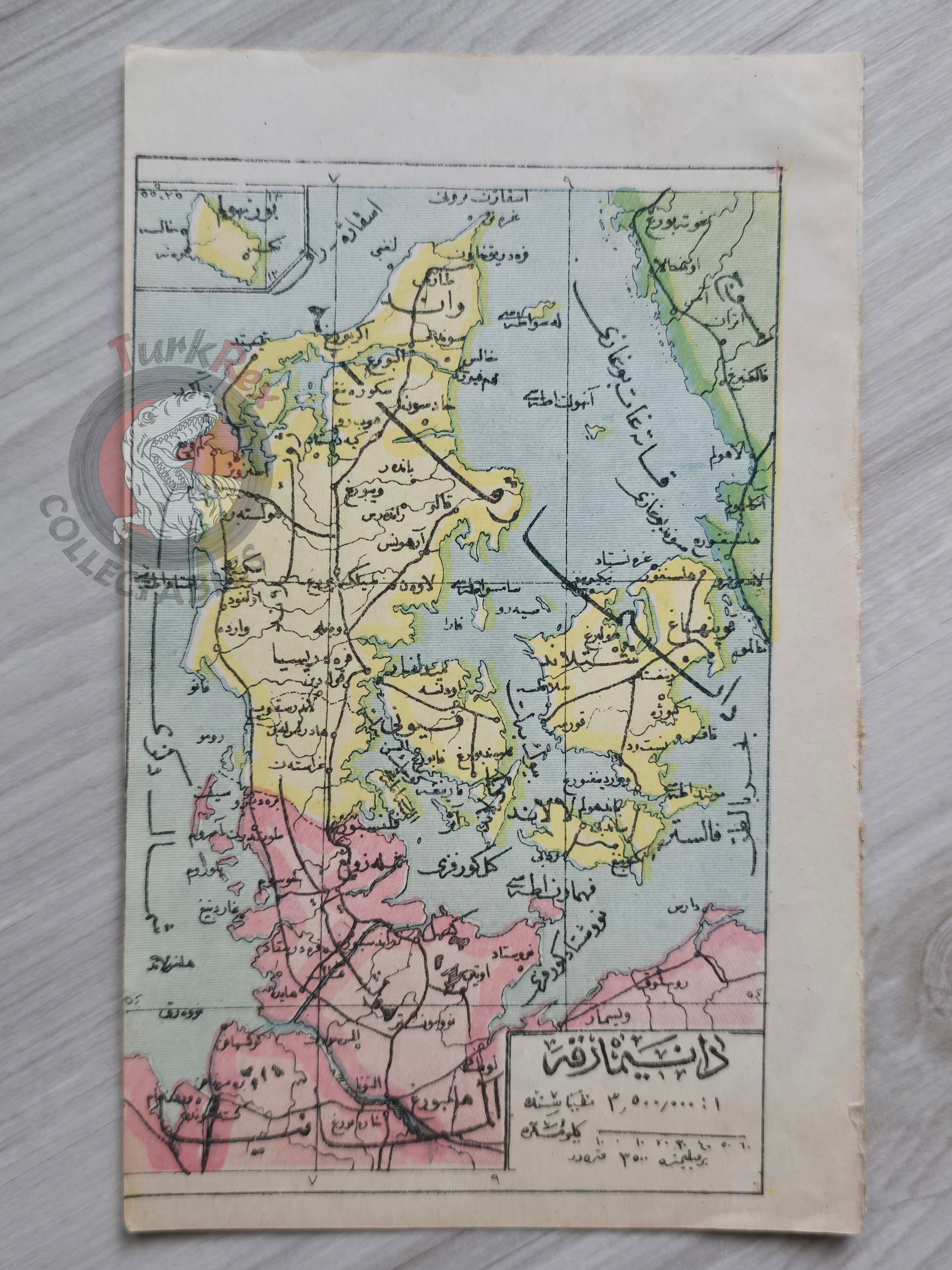
An Ottoman Turkish map depicting Denmark, measuring 17.5 × 11 cm. While the exact source atlas or publication is not identified, the style and format suggest it originates from an Ottoman geographical or educational atlas printed in the late 19th or early 20th century.
Maps of northern Europe, such as this depiction of Denmark, were less commonly produced compared to maps of the Ottoman Empire or neighboring regions, making this a particularly interesting example. The map presents Denmark with Ottoman Turkish geographical terminology and script, reflecting the Ottoman Empire’s engagement with European geography in its educational and administrative reforms.
Key Features:
-
Language: Ottoman Turkish
-
Region: Denmark
-
Date: Undated, likely late 19th – early 20th century
-
Size: 17.5 × 11 cm
-
Source: Ottoman atlas (exact publication unknown)
-
Condition: Well-preserved