


Skip to product information


Italy Physical Ottoman Map Empire Europe Sardegna Alps Apennine Mountains
$80.00
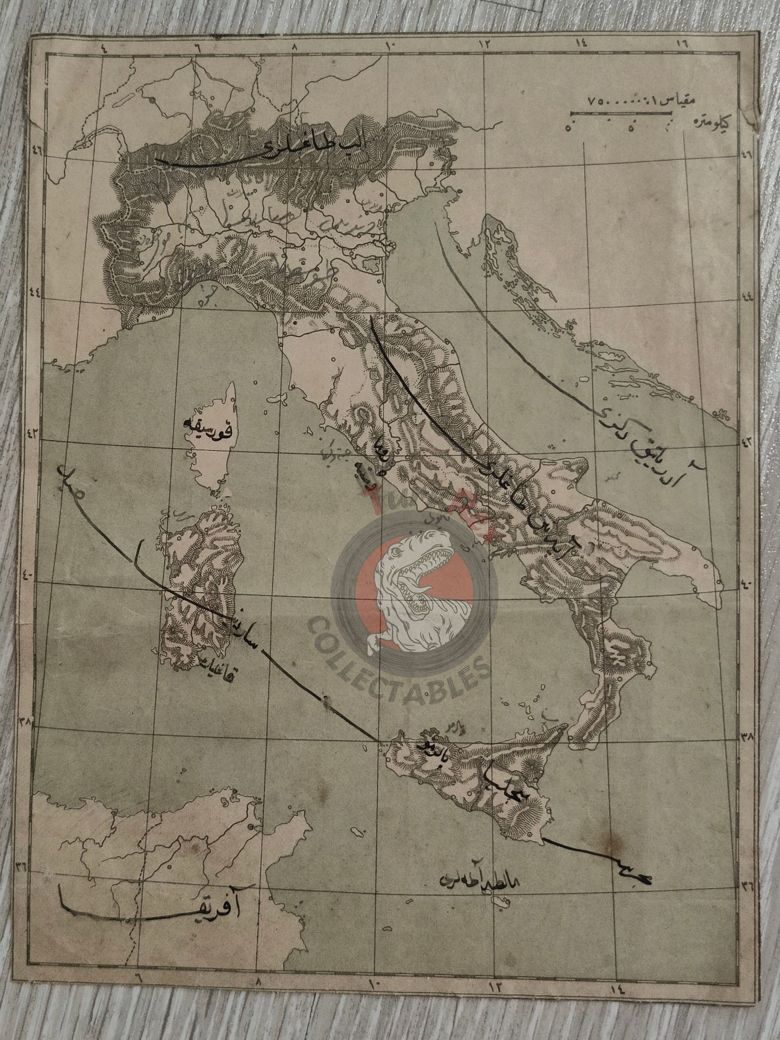
Ottoman Map of Italy - Physical Features (Early 20th Century)
Description:
An Ottoman Turkish map of Italy illustrating its physical geography, including the Alps, Apennine Mountains, and the Adriatic Sea. Measuring 19.5 × 15.1 cm, this map likely originates from an early 20th-century Ottoman geography textbook, used for educational purposes.
The map offers valuable insight into how geographical knowledge was taught in Ottoman schools and provides a detailed depiction of Italy’s topography in Ottoman script.
Key Features:
- Region: Italy – Physical Geography
- Dimensions: 19.5 × 15.1 cm
- Content: Shows major mountain ranges, seas, and other physical features
- Source: Likely from an early 20th-century Ottoman geography textbook
- Significance: Rare educational map highlighting Ottoman approaches to teaching world geography