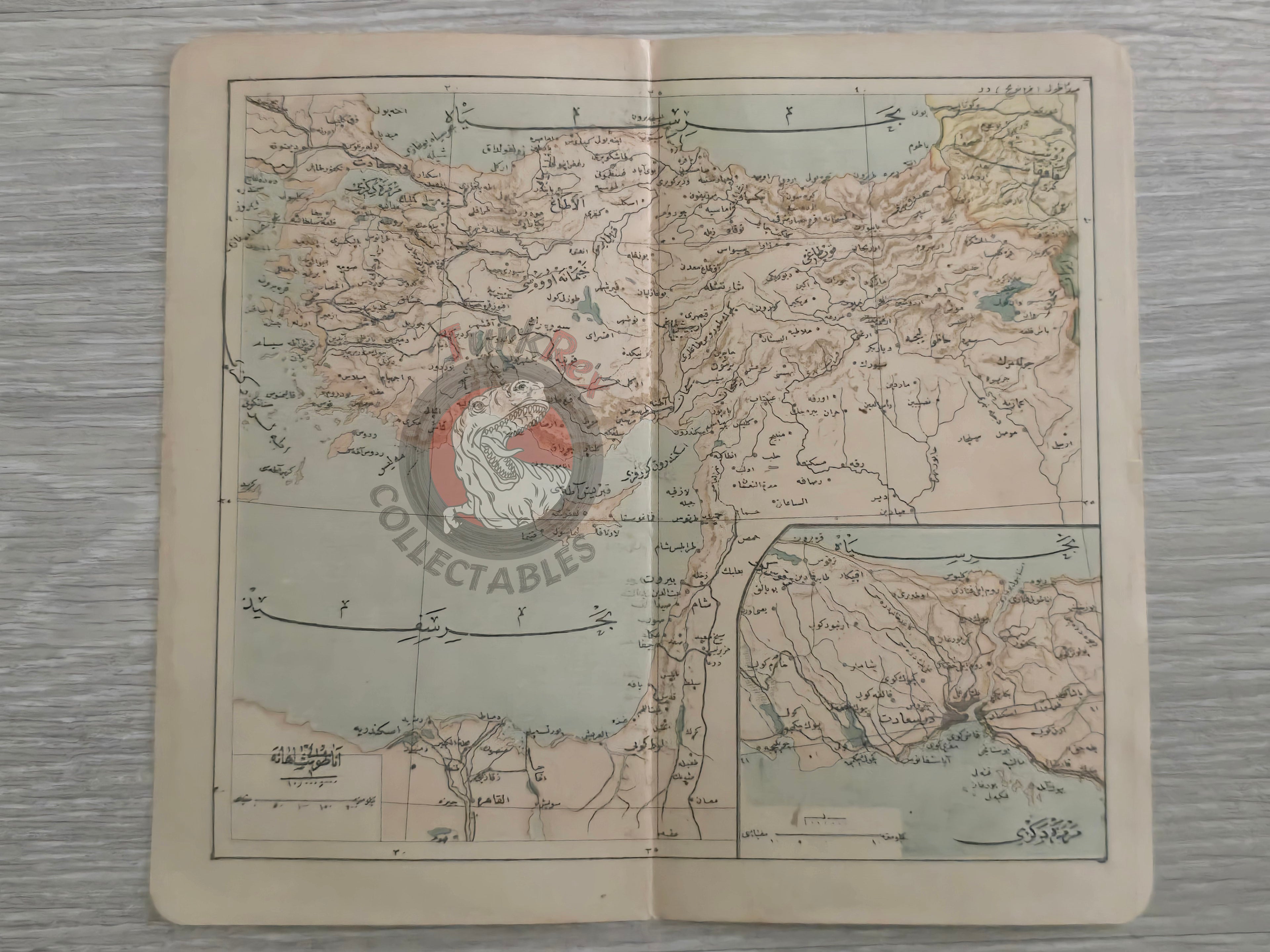
Ottoman Empire 1906 Atlas Map Anatolia Middle East Palestine Syria Iraq Iran Israel
Ottoman Map of Anatolia and the Middle East - From Umumi Cep Atlası by Tüccarzade İbrahim Hilmi (1324 AH / 1906 CE)
Description:
An Ottoman Turkish map of Anatolia and the wider Middle East, published in 1324 AH (1906 CE) in Tüccarzade İbrahim Hilmi’s Umumi Cep Atlası. Measuring 19.4 × 17.5 cm, the map shows the Ottoman Empire’s territories across Asia Minor and the Levant, including areas corresponding to present-day Syria, Iraq, Lebanon, Palestine/Israel, and Egypt.
A notable feature is the inclusion of a smaller inset map in the lower right corner, providing a more detailed view of Istanbul, the capital of the Ottoman Empire.
Produced during the early 20th century, this atlas map reflects both the geopolitical extent of the Ottoman domains and the efforts of Ottoman publishers to make geography accessible to a broad readership.
Key Features:
- Region: Anatolia and the Middle East
- Date: 1324 AH / 1906 CE
- Source: Umumi Cep Atlası by Tüccarzade İbrahim Hilmi
- Publisher: Istanbul, Ottoman Empire
- Dimensions: 19.4 × 17.5 cm
- Inset: Detailed map of Istanbul, the imperial capital
- Significance: Early 20th-century Ottoman atlas map combining imperial geography with a focus on Istanbul


