


Asia and Europe minor between 1340 1354 Orhan Ghazi Ottoman Empire Map 1913 Mehmed Eşref
Ottoman Map of Asia and Europe – From Tarih-i Umumi ve ʻOsmani Atlası by Mehmed Esref (1913)
Description:
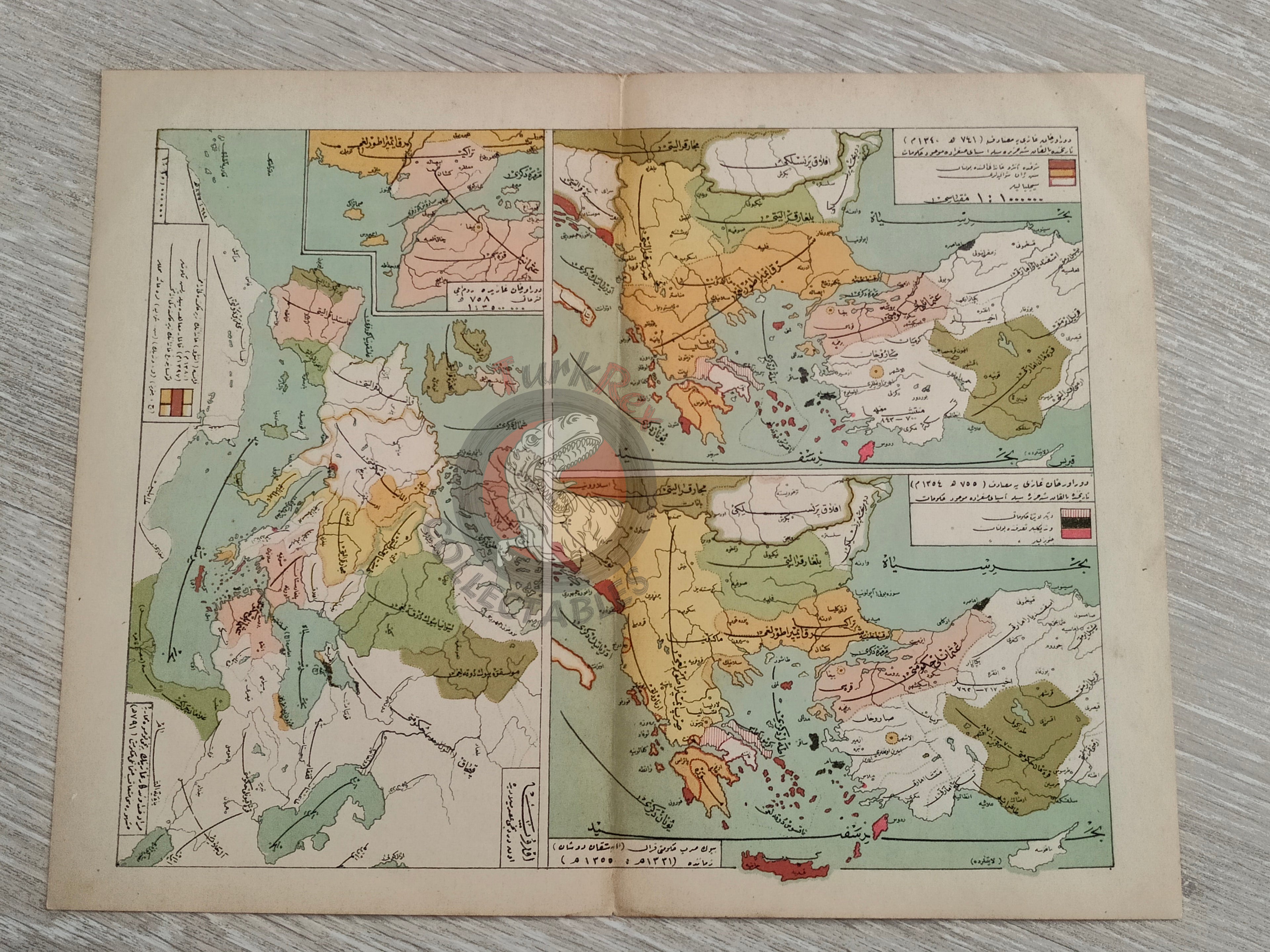
This Ottoman map depicts Asia and Europe, published in 1913 as part of Tarih-i Umumi ve ʻOsmani Atlası (Historical Atlas of the World and Ottoman), authored by Mehmed Esref. The map measures 32.8 × 25.7 cm and is one of 138 maps contained within 32 double-page plates included in the volume. This atlas aimed to provide Ottoman students with both world and Ottoman historical geography, combining visual learning with historical narrative. The map was printed by the Mekteb-i Harbiye Matbaası (Ottoman Imperial Military Press), reflecting the scholarly and institutional efforts of the late Ottoman period to produce comprehensive historical cartography.
Of particular significance are the inset maps, which show Asia Minor during the years 741 and 755 Hijri (1340 and 1354 CE). These correspond to the reign of Orhan Gazi, the second Ottoman ruler, and illustrate the fragmented political geography of the region at that time, with the Ottoman state emerging alongside neighboring principalities and states.
By combining contemporary geography with historical context, the atlas not only provided a visual tool for understanding world geography but also emphasized the Ottoman Empire’s own place in the longue durée of regional and global history.
Key Features:
-
Date: 1913
-
Author: Mehmed Esref
-
Source: Tarih-i Umumi ve ʻOsmani Atlası (Historical Atlas of the World and Ottoman)
-
Publisher: Mekteb-i Harbiye Matbaası (Ottoman Imperial Military Press)
-
Region: Asia and Europe
-
Dimensions: 32.8 × 25.8 cm
-
Atlas Content: One of 138 maps in 32 double-page plates
-
Insets: Asia Minor in 741 and 755 AH (1340 & 1354 CE), during the reign of Orhan Gazi, showing neighboring states and shifting frontiers
-
Historical Context: Demonstrates the Ottoman understanding of both world geography and their own imperial past
-
Cultural Significance: A rare cartographic artifact linking geography, Ottoman historiography, and education at the dawn of the 20th century