


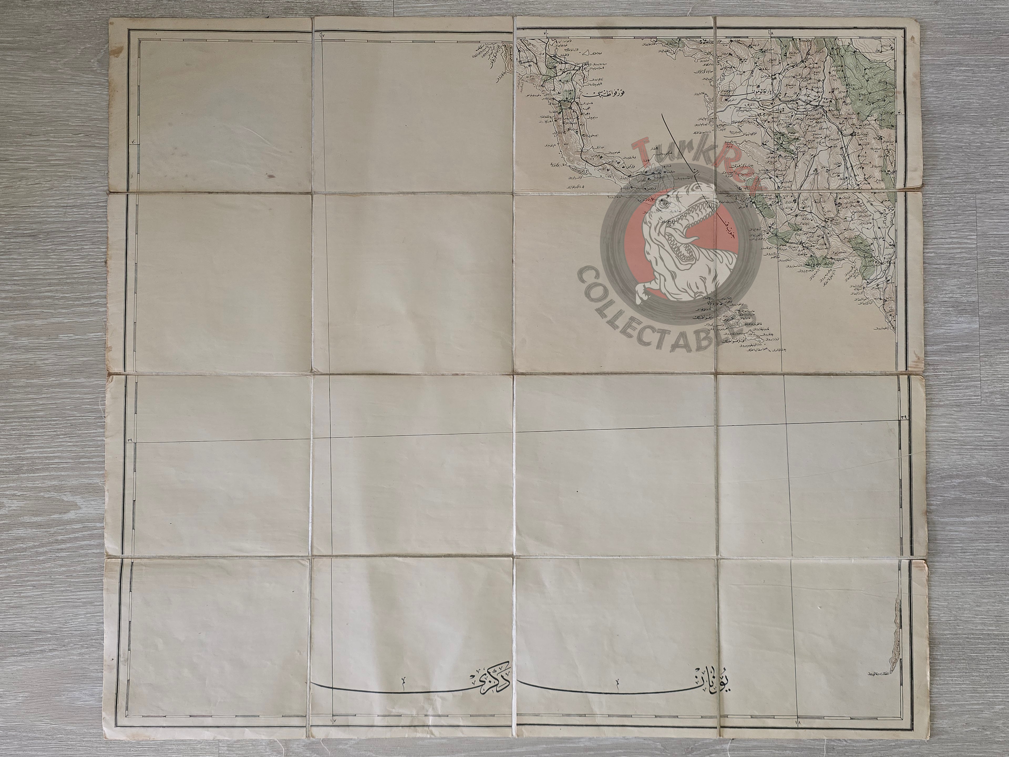


Corfu Island Greece Ottoman Military Map WW1 Gaios Parga
Ottoman Military Map – Corfu (Korfu Adası, Greece), ca. World War I
Description:
A large Ottoman military map of Corfu Island (Greece), prepared by the Ottoman General Staff (Erkan-ı Harbiye). The map measures 73.3 × 65 cm and is cloth-backed, foldable, intended for field use.
Although the exact publication date is not noted, the style, cartographic details, and production technique strongly indicate that it was prepared during the First World War period (ca. 1914–1918). Such maps were essential for military planning, navigation, and strategic operations, especially in the Adriatic and Mediterranean theaters where the Ottoman Empire and its allies monitored key naval and territorial positions.
The map is a fine example of Ottoman cartographic practices in the early 20th century, reflecting both the empire’s interest in the Balkans and Mediterranean islands, and the professional standards of the Ottoman General Staff’s cartography division.
Key Features:
-
Region: Corfu Island (Greece)
-
Size: 73.3 × 65 cm
-
Format: Foldable, cloth-backed military map
-
Language: Ottoman Turkish (Arabic script)
-
Publisher: Erkan-ı Harbiye (Ottoman General Staff)
-
Date: ca. World War I (1914–1918)
-
Condition: Very good for age; minor fold marks consistent with military field use