


Skip to product information


Italy Ottoman Map Ottoman Empire Europe early 20th century Sardegna
$80.00
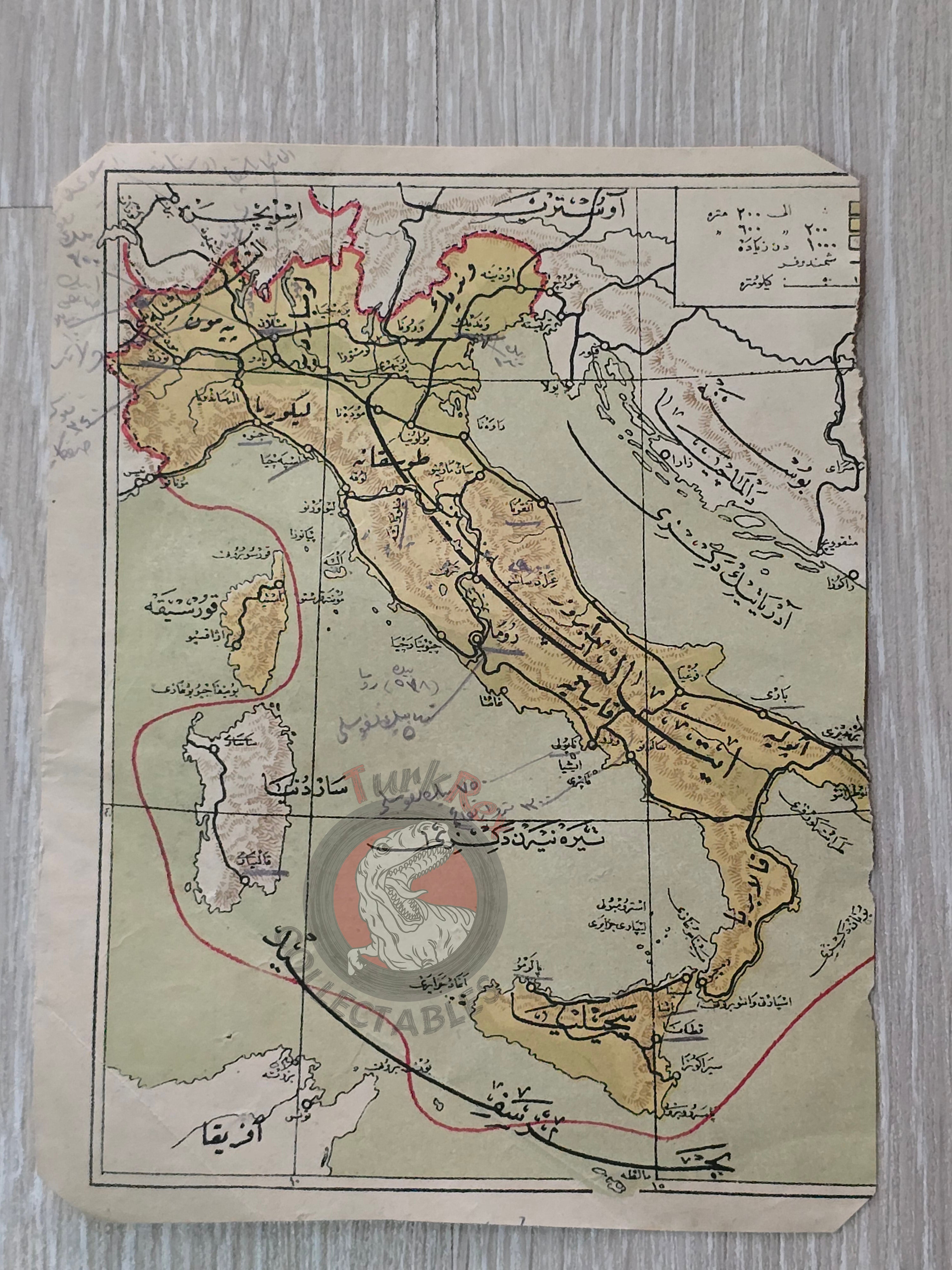
Ottoman Map of Italy (Early 20th Century)
Description:
An Ottoman Turkish map depicting Italy, measuring 17.7 × 13.7 cm, with the right side slightly cropped. The map features handwritten Ottoman notes on the front, and the back includes a handwritten date of 1918. While the specific atlas this map originates from is unknown, it likely comes from an early 1910s publication.
This map provides a rare glimpse into Ottoman cartography and annotation practices, showing how maps were used and studied during the final years of the Ottoman Empire.
Key Features:
- Region: Italy
- Date: Circa 1910s (handwritten 1918 on back)
- Dimensions: 17.7 × 13.7 cm
- Condition: Right side slightly cropped, with Ottoman handwritten notes
- Significance: Rare example of Ottoman maps with annotations, reflecting usage in education.