


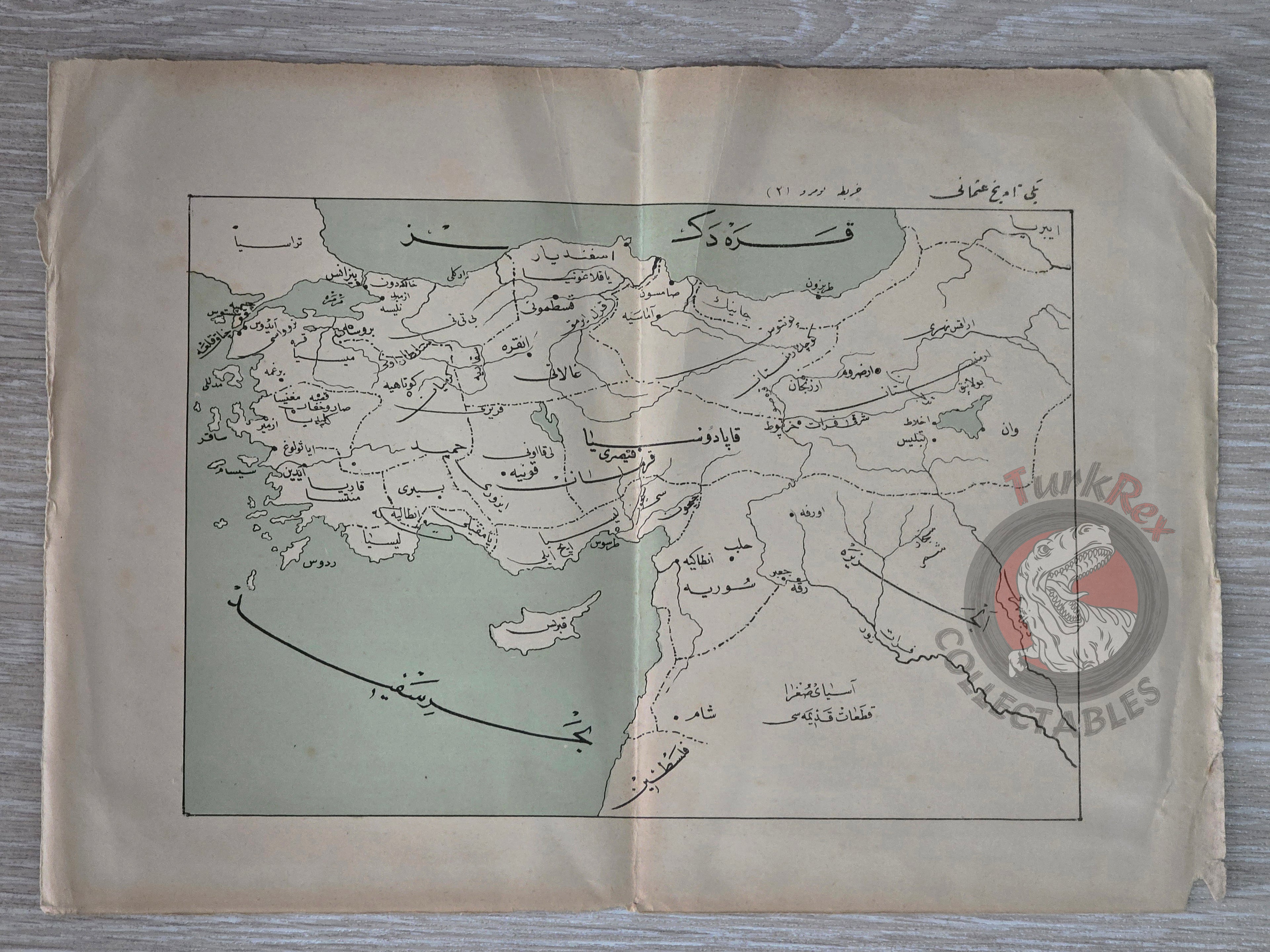


Ottoman Empire Map Palestine Syria Cyprus Middle East
Ottoman Map of the Ottoman Empire, including Palestine (undated, early 20th century)
Description:
An Ottoman Turkish map of the Ottoman Empire, measuring 28.5 × 20.5 cm. A particularly notable feature of this map is that Palestine is marked as a distinct entity with defined borders, an uncommon representation in Ottoman cartography.
The map reflects the late Ottoman interest in geopolitical boundaries and territorial organization, capturing a period of significant political transformation in the region. The inclusion of Palestine as a labeled and bordered territory highlights the cartographic and political perception of the area during the waning years of the Empire.
Key Features:
-
Language: Ottoman Turkish
-
Region: Ottoman Empire (with Palestine distinctly outlined as a separate state)
-
Size: 28.5 × 20.5 cm
-
Date: Undated, likely early 20th century
-
Condition: Good, with typical signs of age and handling
-
Source: Ottoman educational or political atlas (exact publication unknown)