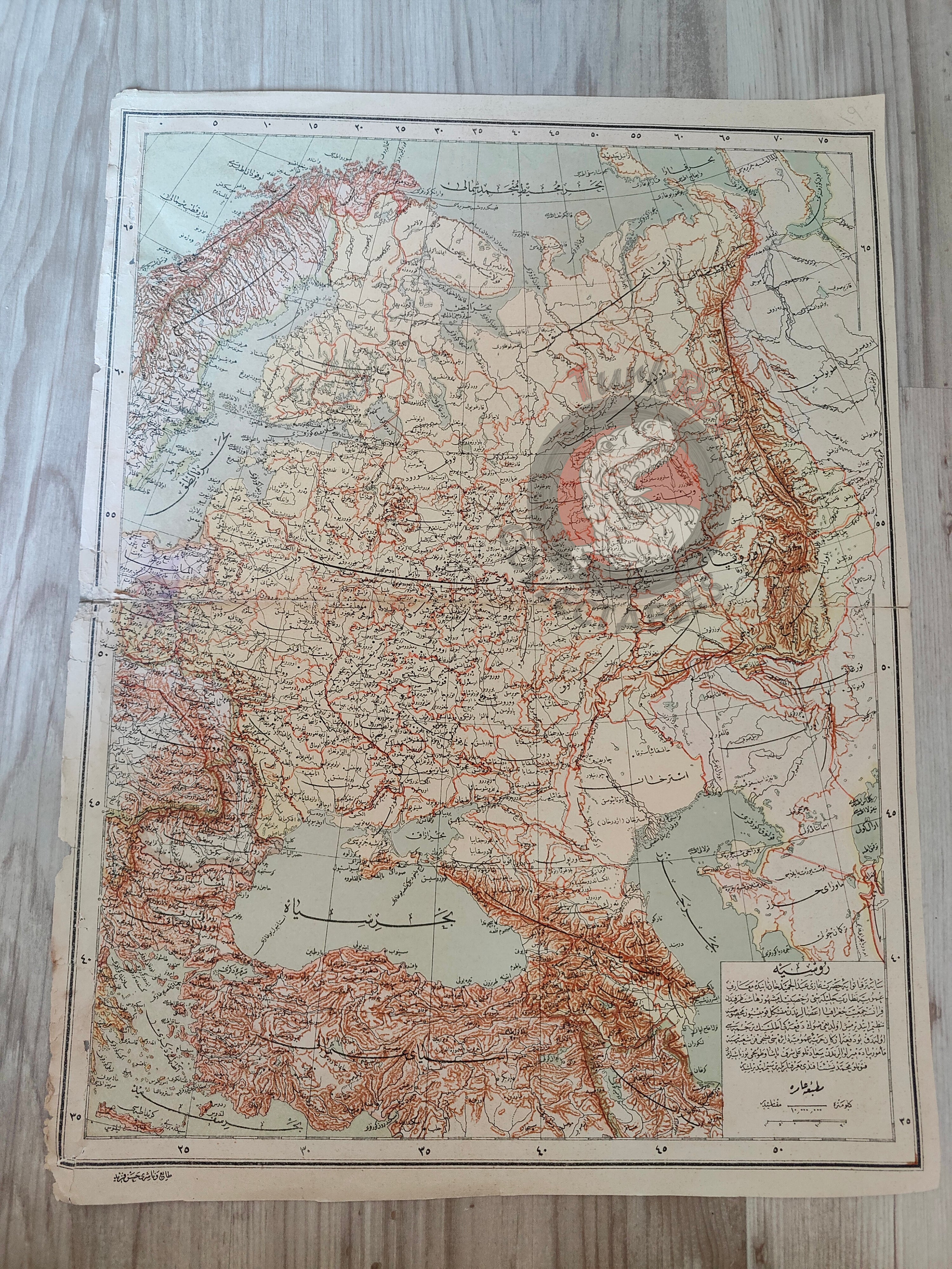
Russia 1893 Ottoman Atlas Map Empire Anatolia Ukraine Finland
Ottoman Turkish Map of Russia – from Yeni Coğrafya Atlasi (1893)
Description:
A large Ottoman Turkish map of Russia, measuring 44.4 × 33.4 cm, published in 1309 AH (1893 CE). The map is part of the “Yeni Coğrafya Atlasi” (New Geographical Atlas), edited by Ali Şeref Paşa and Hafız Ali Eşref, printed by Hasan Ferid at the Matbaa-i Âmire in Istanbul.
This map focuses on the Russian Empire during its late 19th-century expansion, illustrating its vast territories and neighboring regions. It highlights major geographical features such as the Ural Mountains, the Volga River, and key cities, while also showing surrounding areas including the Black Sea, Anatolia (Ottoman Empire), Finland, Azerbaijan, Ukraine, and part of Sweden.
The Yeni Coğrafya Atlasi was a landmark Ottoman publication, consisting of 42 double-page lithographed color maps produced between 1893–1898 (1309–1314 AH). It reflects the Ottoman Empire’s deepening engagement with global geography, science, and cartography at the close of the 19th century.
Ali Şeref Paşa, a former soldier trained as a cartographer in Paris, became the chief cartographer at Matbaa-i Âmire, the successor to İbrahim Müteferrika’s pioneering Ottoman press. His expertise brought European precision and style to Ottoman mapmaking, making the atlas both a scientific and educational achievement.
Key Features:
-
Title/Subject: Russia and surrounding regions
-
Publication Date: 1309 AH (1893 CE)
-
Atlas: Yeni Coğrafya Atlasi (New Geographical Atlas)
-
Editors: Ali Şeref Paşa & Hafız Ali Eşref
-
Printer: Hasan Ferid
-
Publisher: Matbaa-i Âmire, Istanbul
-
Dimensions: 44.4 × 33.4 cm
-
Coverage: Russia, Ural Mountains, Volga River, Black Sea, Anatolia, Finland, Azerbaijan, Ukraine, part of Sweden
-
Technique: Lithographed color map
-
Significance: An important Ottoman atlas map illustrating the vast Russian Empire and its neighbors in the late 19th century.
-
Condition: The map was originally larger; it has been trimmed along the outer white paper margins. However, the entire printed map image is complete and intact, with no loss of cartographic content.


